Open Space Institute, Francis Marion University, Florence County, Darla Moore Foundation, and State Partners Save 8,500 Acres Along Great Pee Dee River
January 22, 2026
The Open Space Institute (OSI), in coordination with Francis Marion University (FMU), the South Carolina Office of Resilience (SCOR), South Carolina Conservation Bank (SCCB), Darla Moore Foundation, Florence County and a coalition of additional partners, has acquired nearly 8,500 acres in Florence and Darlington Counties.
Recently Shared
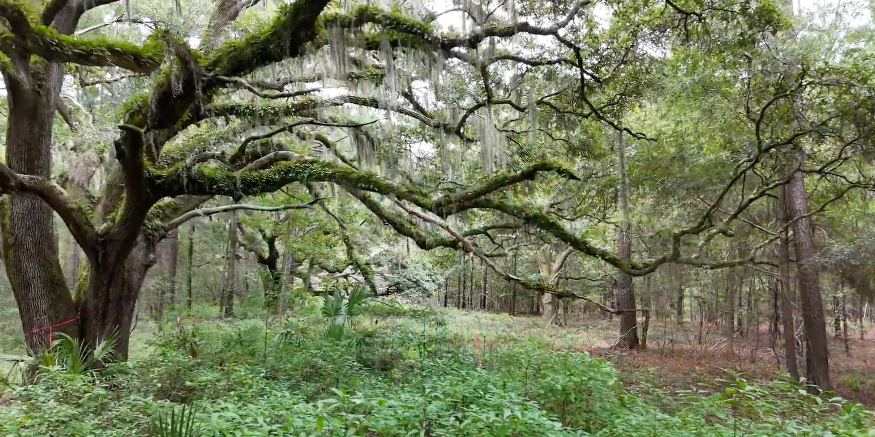
Lowcountry Land Trust and Sea Island Habitat for Humanity are excited to announce an innovative partnership that will provide space for a new nature preserve and affordable housing on one of the largest undeveloped parcels remaining on northern Johns Island. The 102-acre Humbert Woods property will become a 97-acre nature preserve with an additional five acres designated for affordable homes adjacent to the Sweetgrass Preserve neighborhood. Read entire story with Lowcountry Land Trust→
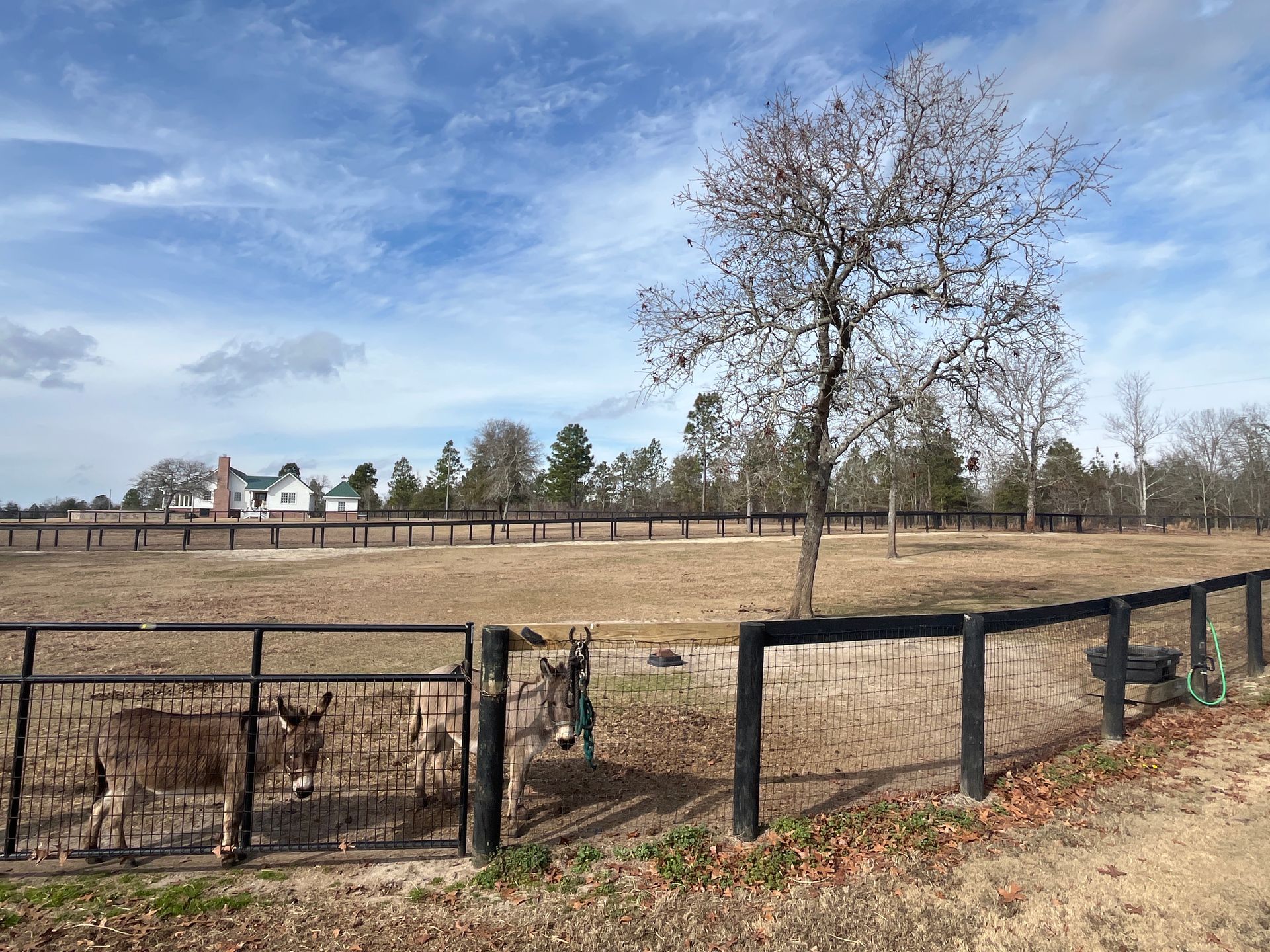
The recently protected Shealy Farms Conservation Easement protects 20 acres of open space and 40 acres of remnant longleaf pine sandhill habitat supporting SWAP-listed species such as Southern fox squirrel, Southeastern American kestrel, and sandhill rosemary. This property also preserves 0.3 miles of scenic viewshed along Bethcar Church and Bluffwood Roads, helping to maintain the rural character of Aiken County in the Wagener area. Read entire story with Aiken Land Conservancy→
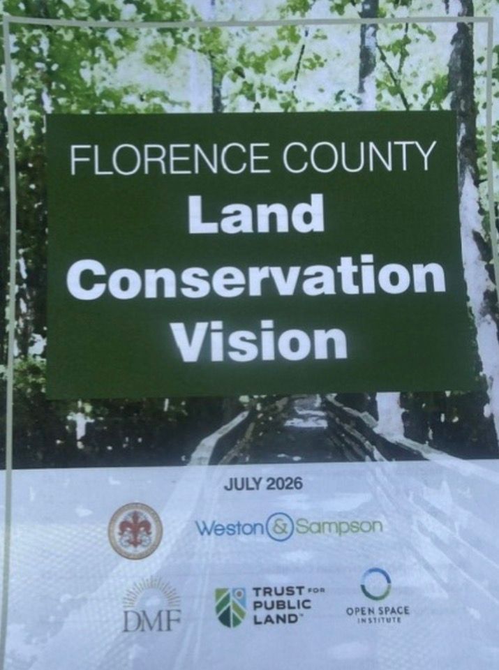
Florence County Council officially adopted their first Conservation Vision Plan which includes a goal to protect 30% of land through voluntary public aquisitions and conservation easements. SCLTN Land Trusts have been instrumental in supporting this exciting step towards proactive land protection and land use decisions for the future. Read the full story here.